Structural Model Version 0.1
During the quarter, GIS data was used to add additional rock units to the Pre-Permian Formation. Regional maps and a digital elevation model (DEM) were used in GemGIS to extract 3D intersections; similarly, a major fault system was identified and, due to current limitations of GemPy, implemented in a highly simplified form. The lack of subsurface constraints and azimuth/dip data in the dataset complicated the modeling process, resulting in GemPy models that did not meet the desired quality standards.
In a discussion with geologist J. Grimmer, it was decided to first build a simplified structural model. The required geological information was manually extracted from a 2D cross-section drawing, interpreted by J. Grimmer, that clearly and consistently represents the granite-gneiss boundary. This base setup is called “structure model v0.1”, is shown in the figure.
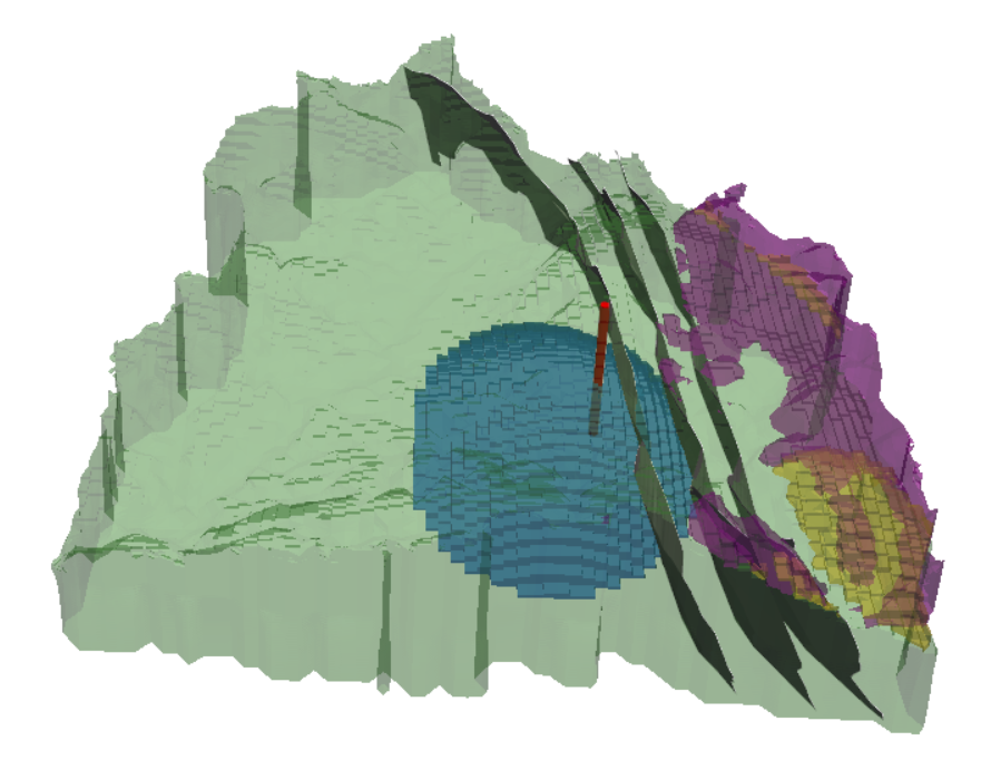
Structure model v0.1
All models are stored in Kadi, and the complete workflow is documented in Jupyter notebooks, maintained in the GitLab repository, with functions for automated data transfer to and from Kadi, ensuring reproducibility.