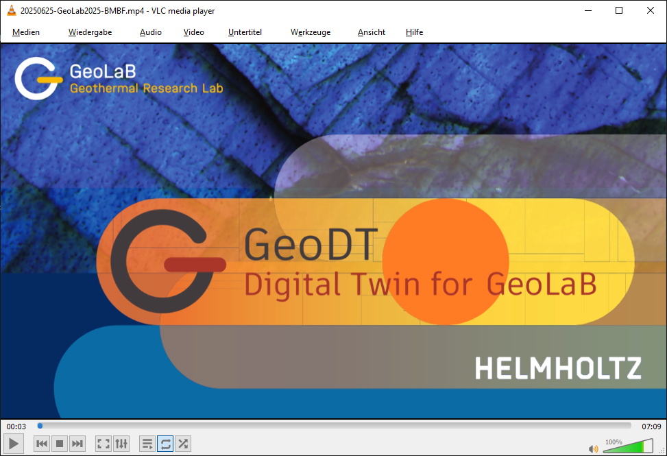
WP3 Virtualization (xVR)
Visualization
A central target of the GeoDT project is not only to integrate available and new data in a timely manner, but also to create and publish appropriate visualizations of the current status so that the general public can obtain an up-to-date and easily understandable overview of the status of the GeoLaB project.
First VR study of the digital twin of the GeoLaB Tromm site.
The first visualisation study based on existing data for the GeoLaB Tromm investigation site has been completed (see figure above). This Virtual Reality (VR) scene incorporates administrative data, including municipal, land parcel and land lot boundaries, as well as existing building models. It also includes protection areas, such as those designated for drinking water, landscape conservation, nature and biosphere reserves, habitats and biotopes, and bird sanctuaries, as well as existing mining sites and boreholes in the Tromm area. This information, including land ownership, was required for the permitting process of the first two research boreholes, GLB-1/2. The visualised data for the Tromm mountain ridge shows the main faults and surface geological formations (basic geology and outcrops) and is based on the Hessen3D geological model, which has been integrated into the VR scene.
Drilling simulator
The development of the drilling simulator has begun in parallel on many fronts: System for placing 3D assets on the drill site; importing 2D CAD data, edge selection and group definition; generators for various assets: boring cellar, drillsite surface and excavation; generator for drill rig, platform, mast and top drive; generator for boreholes, casings and cementation; generator for wellhead, including hydraulics simulation. Each module is integrated with a state persistence system and cascaded timeline management. This enables a holistic 4D simulation, from drill site planning to drilling operations and, if applicable, the production phase. This virtual drill site will also form the basis for incorporating real-time sensor data, should it be available at a later stage in the project. This will result in a virtual twin of GeoLaB.
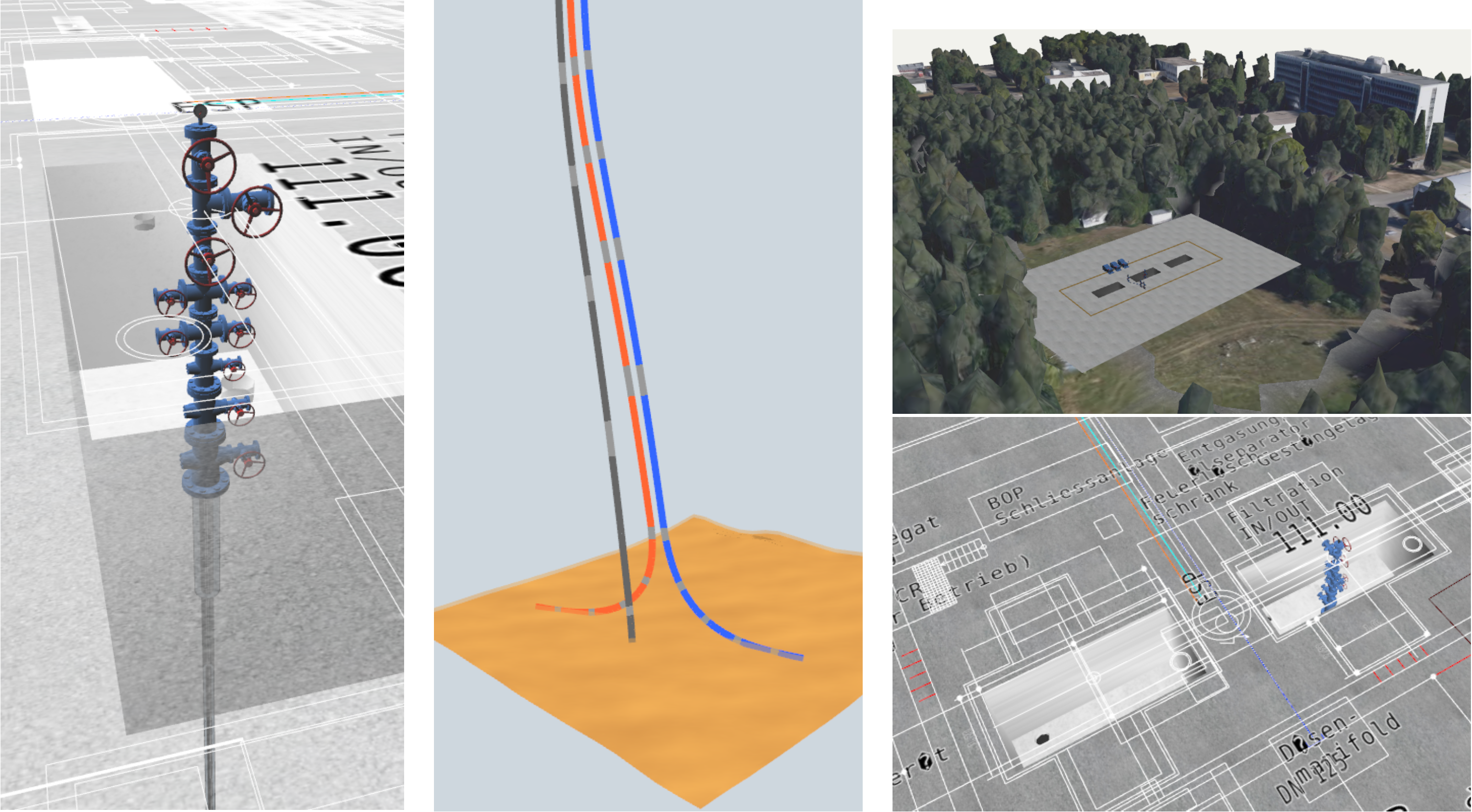
(left) Generated wellhead based on borehole cellar and casings configuration; (middle) Example of a geothermal production phase simulation; (right top) Drillsite configurator, 3D GIS environment from Google Maps; (right bottom) Import of 2D plans to select vertex groups as seed for generating drill site assets.